

Photography and Video Services for:
- Real Estate (Aerial)
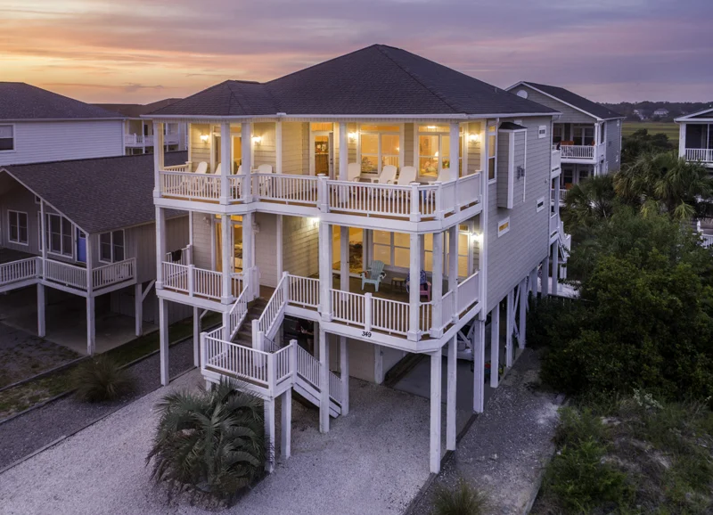


- Real Estate (Ground Level)


- Businesses


- Construction


- Inspection Services


- Television / Movies
- Natural Disaster Impacts
We provide a bird's eye view to help assist and document the impacts of all types of natural disasters.
- 3D Modeling/GIS
Convert drone imagery into GIS formats for use in 3D modeling and spatial analysis.
- Search and Rescue
Drones can help search and rescue efforts by providing an eye in the sky.
All Buckeye Sky pilots are among a select few in Ohio that are FAA Part 107 certified--required for all commercial drone use. We ensure that all safety measures and federal, state and local laws are being strictly followed before launching our drones in the sky.